I took an over night backpack trip up to the top of Larch Mountain back in October, and here are the photos. I arrived at the Multnomah Falls Lodge in rain, and waited in the car until it slacked off a little. Still, when I headed up through the crowds of tourists and hikers, it was misting and raining a little. Multnomah Falls never disappoints, no matter the weather:

As I continued up the paved trail to the top of the falls, I passed through bands of clouds hugging the walls of the Gorge. The weather didn't look promising:
This is the view from the top of the falls. It's a little stream, and then suddenly it disappears over a 500 foot cliff!

Walking up Multnomah Creek further, I saw Wiesendager Falls.

I don't know if this canyon was logged or not. There are some large trees up there, but no real obvious ancients. Still, it's a very pleasant walk: the highway noise is covered by the sound of the creek, the crowds are thinned out (at least by this time of year), and the woods are lovely.

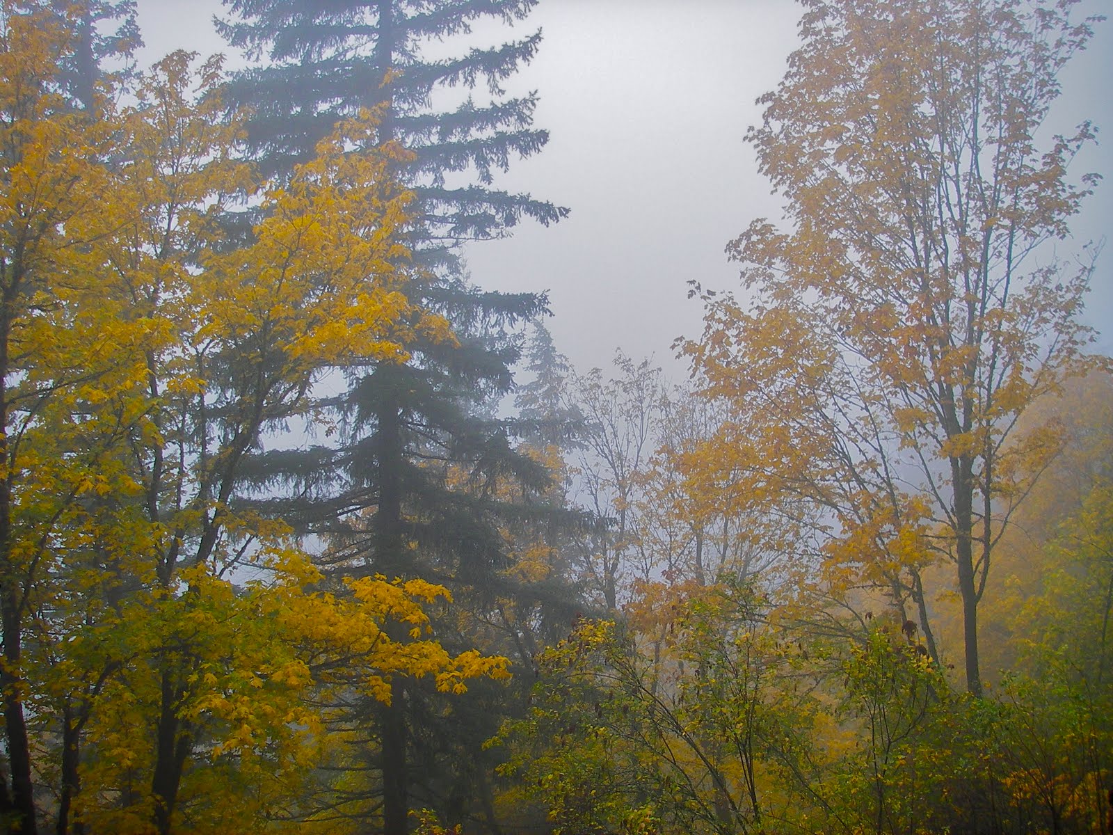
Though the fall color in the northwest doesn't compare to the fall color of the Southern Appalachians, there are at least the bright yellow leaves of the vine maple trees:

Eventually I arrived at Franklin Ridge Trail, which leads up from the creek to the ridgeline. Ascending through second growth in light fog:

The trails all head uphill to the summit of Larch Mountain, which is an extinct volcano, which bears evidence of possible glaciation on its north side. A road travels all the way up the very broad, gradually inclined west face of the mountain to a parking lot. My trail intersected that road just down hill of the lot.

At the parking lot, I took the short paved trail to the tip of the mountain at Sherrard Point.

This is the eroded plug of the volcano. No views tonight. The clouds had evaporated in the afternoon, which made for pleasantly dry walking, but they returned in the evening. Luckily it wasn't raining. This summit is a full 4,055 feet above where I began at Multnomah Falls.

It was dark as I made my way off the summit area. I walked down into the crater, which is the headwaters of Multnomah Creek. I found a spot to camp right at the creek. This turned into a real hassle of a place to camp, as the nearby tree and logs were in the way anytime I did anything! Here's a photo from the next morning.

On the way back down along Multnomah Creek the next morning, I was surprised to find a huge grove of old growth. Awesome trees. I didn't realize that this area hadn't been logged. It's designated Wilderness now, and would literally require an act of Congress to be logged. Nice!


Here's some nice fall color on the trail:

When I got down to the area above the falls, I walked through one final cloud bank.

One final picture: a view of the parking lot at Multnomah Falls. As always, I was glad to see my car. Usually I don't see the car from 800 feet above though.

Hope you enjoyed!
Multnomah Falls: amazing! I had heard of these falls many times in the past, but had never seen a pic. Thanks. My housekeeper is here at this time each Tuesday. She, too, liked the pix of the falls. So you now have a non-family fan! She was impressed when I told her of your hiking and other outdoor experiences. Herman
ReplyDelete