Still Creek is a 22 mile route using a historical wagon train route, the Barlow Trail, a few Forest Service trails, and a fairly long gravel logging road. Up around Government Camp on the south side of Mt Hood, the scenery is beautiful, and it wasn't too busy, midweek. This was actually the first day of a week long trip to Bend in Central Oregon. Following my usual modus operandi, I'd camp on the first night and arrive the second day. Much more fun than simply driving there!
Starting off at a reconstruction of one of the tollgates on the Barlow Toll Road.

I just read about the road, and it's fascinating. It's worth reading about it yourself, if you're interesting. Here's a link: http://en.wikipedia.org/wiki/Barlow_Road
In short, it was created to bypass the dangerous and expensive final section of the Oregon Trail- rafting down the Columbia River (and in those days, there were waterfalls where there are now locks!). Parts of the road are now buried under modern highways, but some sections of wagon ruts are still visible. Sorry, but I didn't travel those parts, and so there are no pictures.
From the trailhead, I traveled up a recently graveled utility corridor (I'm not sure, but I don't think that the pipeline was put in under extant ruts- the locals are pretty proud of the pioneer history and probably wouldn't have allowed that).

Past the campground, I entered the Still Creek Trail. This short trail really just climbs over a low ridge and into the Still Creek drainage. It was short, and some sections were hike a bike (especially one section where the trail simply goes up a basically flat rock, sloped onto its side- it reminded me of the Appalachians), but other sections were just great!

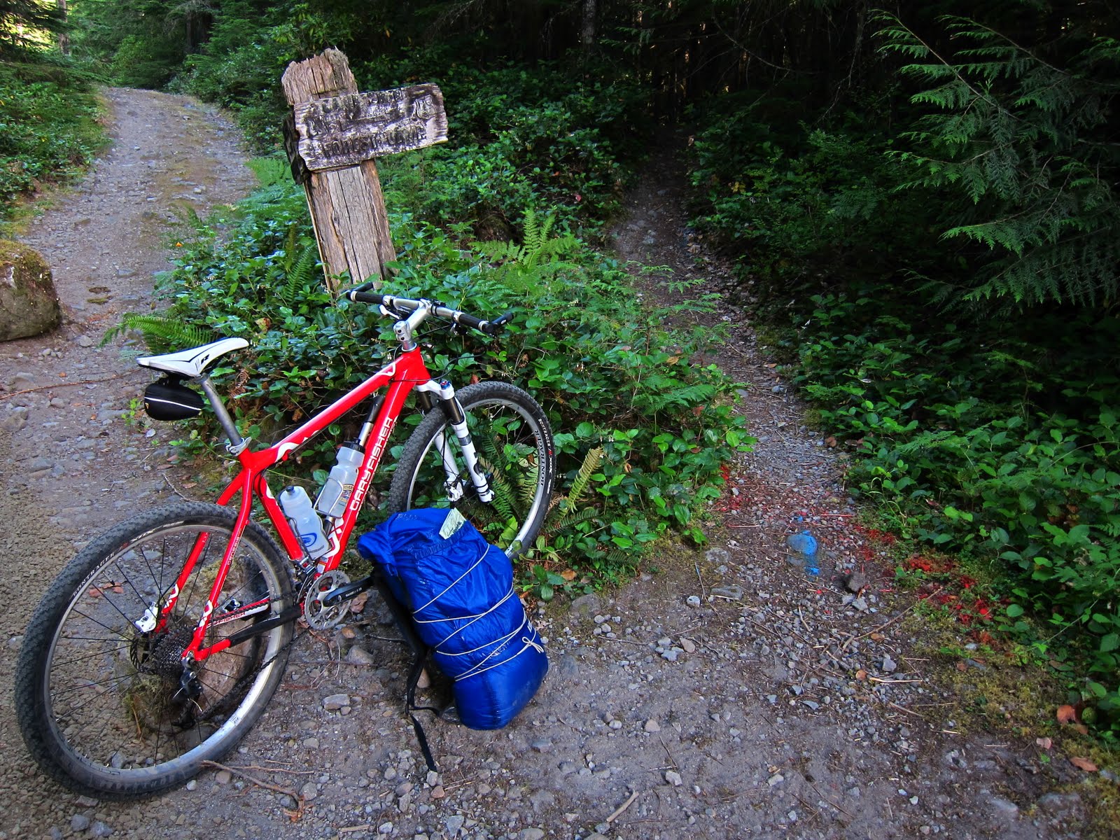
At the end of the trail, I took a left up Still Creek Road. It's a gravel Forest Service road with negligible traffic (it really goes from nowhere up and over a pass to a different nowhere). I rode that for about 6 or 7 miles before finding a campsite on a spur road. I'm not sure why, but I really didn't sleep well that night. May have been the weather- while there was a predicted possibility of rain, it sure didn't look like it when I was up there, and I decided not to pitch the tarp. I wondered all night long if it would start. It never did, but I guess I was just keeping aware, just in case.
I headed back up the road the next morning:

I believe that purple flower is fireweed.
Bridge out! That was a spur road, though, so I didn't have to brave my way across this mess:

At the end of Still Creek Road, I rode through another campground up to US 26, on which I cruised for about 200 yards before entering the town of Government Camp. The locals call it Govy. It's named so in honor of a US Army wagon train that abandoned a bunch of wagons when many of their mules died, en-route over the mountain. Tough life back then!
In Govy, I used the facilities at the rest stop (I'm not above modern conveniences on my trips!), and then headed up into the small network of trails over the village. The Crosstown Trail does exactly as advertised, and was a pleasant ride over to the west side of town:

Where I found one of the most idyllic locations for a port-a-potty ever:

This is actually the trailhead at the opposite end of the Barlow Trail. So from here on out, I rode down the mountain to my car on the Barlow Trail. This trail is mostly wide, at this point, and passes through some interesting areas. Here's a bridge under the original Mt Hood Highway, which was built on top of Barlow's original route.

I pointed my wheel down, and flew down the mountainside. Along the way, there were rocky, eroded sections, recently graveled sections, and pure mountain singletrack. A real mixed bag, but fun nonetheless. I also saw a mother deer with fawn on the trail. They hoofed out pretty quick when i came around the corner!
Hope you enjoyed.

No comments:
Post a Comment
Please feel free to leave a comment!